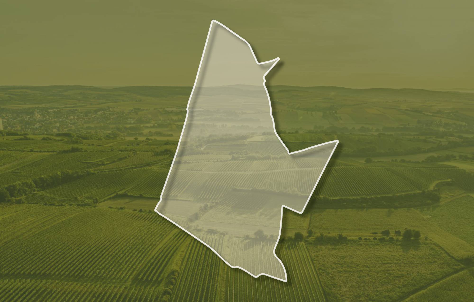
Ried ALTWEINGARTEN
Beschreibung
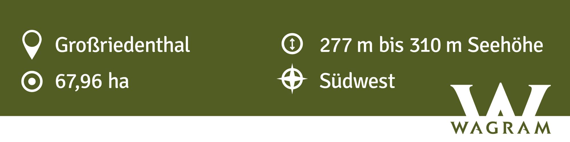
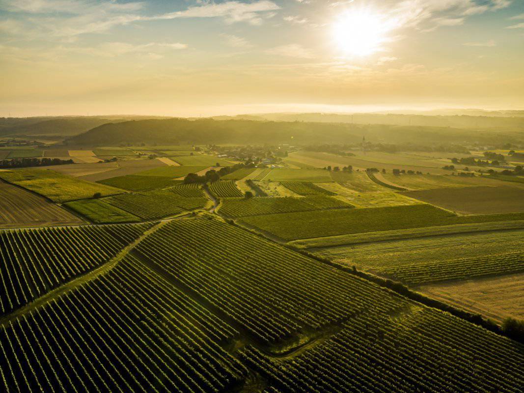
Die Weingärten der Ried ALTWEINGARTEN erstrecken sich über Seehöhen zwischen etwa 270 und 320 Meter und schauen vorwiegend nach Südwesten. Der Untergrund ist geprägt von einer mächtigen Lössdecke mit tiefgründigen, kalkig-schluffigen Schwarzerde-Böden. Löss ist kalkhaltiger Gesteinsstaub (Schluff), der in den vegetationsarmen Kaltphasen der Eiszeit aus dem Alpenraum hier angeweht wurde. Darauf hat sich seither ein lehmig-sandiger, immer kalkiger und gut speicherfähiger Boden gebildet.
Sowohl im Franziszeischen Kataster (1822) als auch in der Administrativkarte (1864-1881) sind hier Weingärten eingetragen, der Flurname lautete damals In alten Weingärten.
Quellen: ÖWM, BFW-eBOD Digitale Bodenkarte, Riedenatlas Wagram 2021, M. Heinrich et al. 2009, GBA 2015: Blatt 39 Tulln, NÖ Atlas-Land Niederösterreich, www.familia-austria.at


This content cannot be displayed because cookies are disabled.
Change settings here.


