Ried AUSSERER GRUND
Beschreibung
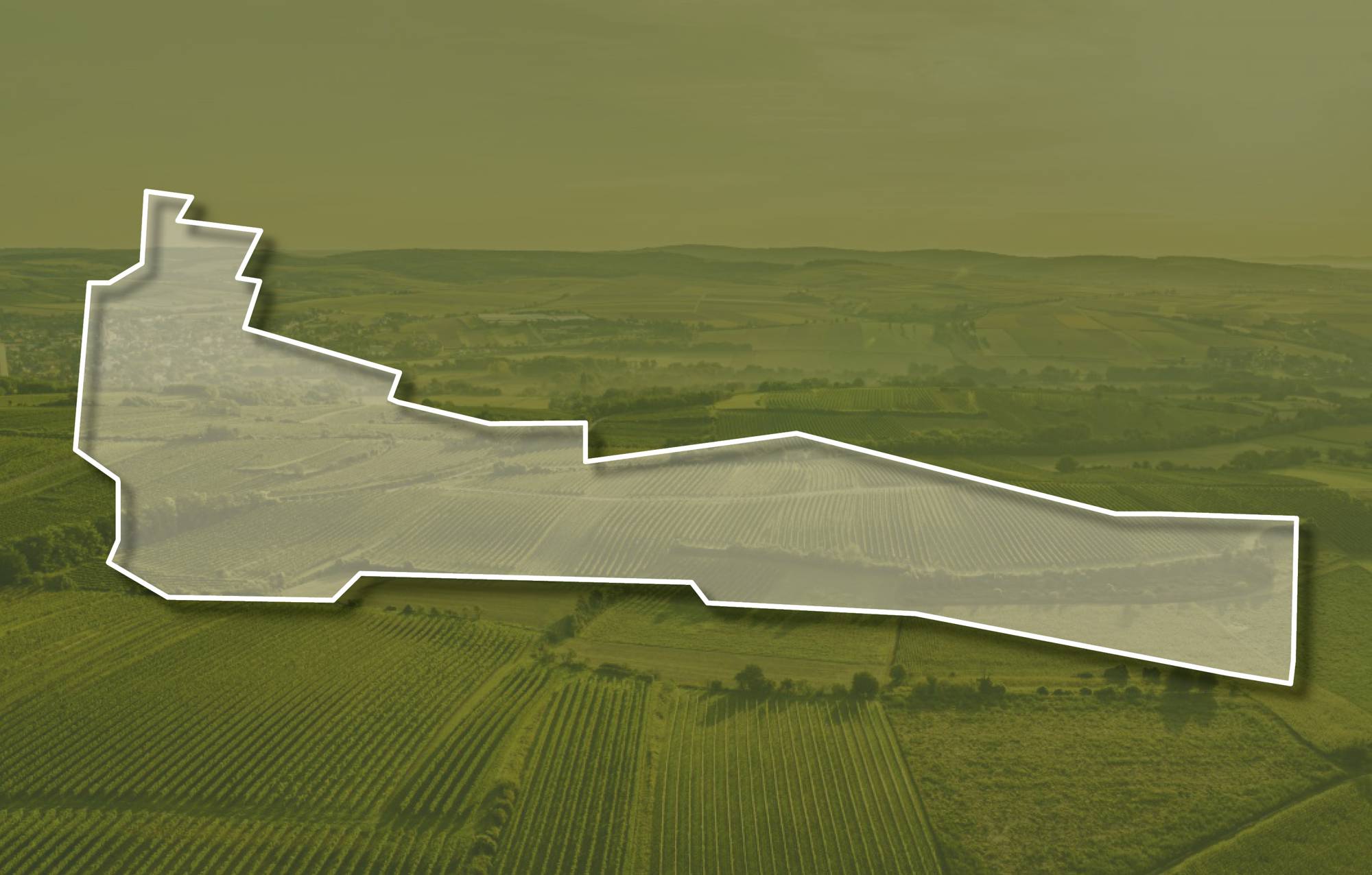
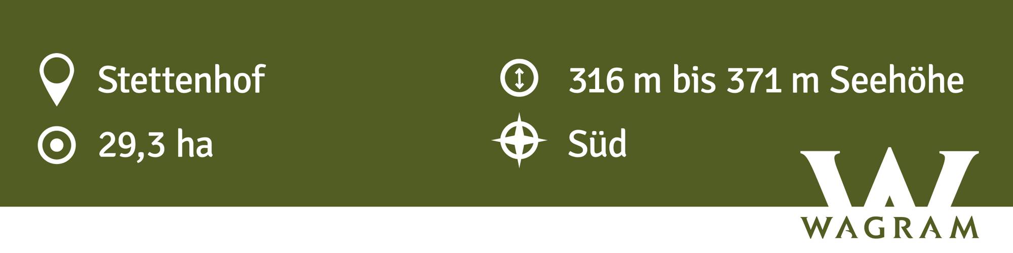
Die Ried AUSSERER GRUND liegt am Hang östlich der Siedlung und ist eine nach Süden, etwas auch nach Südwesten ausgerichtete Terrassenlage. Die Weingärten liegen in Seehöhen zwischen 310 und 380 Meter. Im Untergrund liegen quarzreiche, sandige Kiese der Hollabrunn-Mistelbach-Formation, die aber über weite Teile von Löss bedeckt sind. Löss ist kalkhaltiger Gesteinsstaub, der in den vegetationsarmen Kaltphasen der Eiszeit aus dem Alpenraum mit den kahlen Vorfeldern der Gletscher und Flussebenen hier angeweht wurde und jetzt einen lehmig-sandigen, immer kalkigen und gut speicherfähigen Boden mit ausgewogener chemischer und mineralogischer Zusammensetzung bildet.
Sowohl im Franziszeischen Kataster (1823) als auch in der Administrativkarte 1:28.800 (1864-1881) sind die Weingärten eingezeichnet, auch damals mit der heutigen Bezeichnung Ausserer Grund.
Quellen: ÖWM, BFW-eBOD Digitale Bodenkarte, Riedenatlas Wagram 2021, M. Heinrich et al. 2009, GBA 2015: Blatt 39 Tulln, NÖ Atlas-Land Niederösterreich, www.familia-austria.at


This content cannot be displayed because cookies are disabled.
Change settings here.


