Ried BERG
Ameisthal

Beschreibung
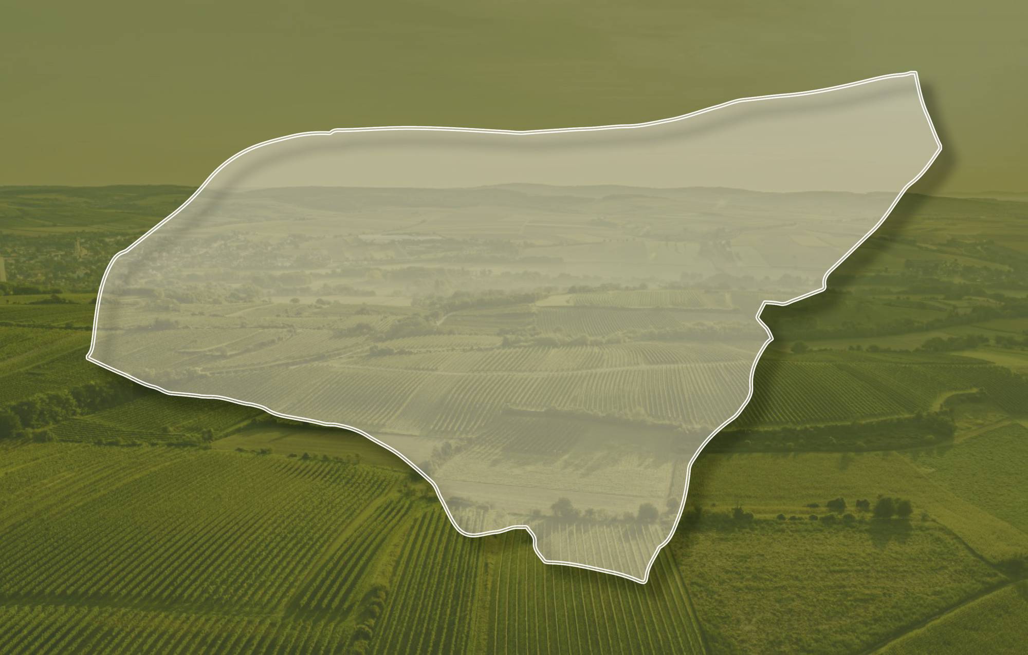
Die Weingärten der Ried BERG schließen direkt an das Ortsgebiet an und erstrecken sich über Seehöhen zwischen etwa 280 und 330 Meter, sie schauen nach Süden und Südwesten. Im Untergrund stehen sandige Kiese der Hollabrunn-Mistelbach-Formation an, die jedoch vielfach von mächtigem Löss mit einem Boden aus Schwarzerde überdeckt sind. Löss ist kalkhaltiger Gesteinsstaub (Schluff), der in den vegetationsarmen Kaltphasen der Eiszeit aus dem Alpenraum mit den kahlen Vorfeldern der Gletscher und Flussebenen hier angeweht wurde und jetzt einen lehmig-sandigen, immer kalkigen und gut speicherfähigen Boden mit ausgewogener chemischer und mineralogischer Zusammensetzung bildet. Die sandigen Kiese sind ca. 8 - 10 Millionen Jahre alte Ablagerungen eines ehemaligen Flusses, der Ur-Donau, die damals nördlicher als die heutige Donau zum Wiener Becken floss. Dementsprechend kann der Boden auch steinig sein. In der Lage werden auch Rotweine angebaut.
Einzelne Weingärten sind sowohl im Franziszeischen Kataster (1823) als auch in der Administrativkarte (1864-1881) verzeichnet.
Quellen: ÖWM, BFW-eBOD Digitale Bodenkarte, Riedenatlas Wagram 2021, M. Heinrich et al. 2009, GBA 2015: Blatt 39 Tulln, NÖ Atlas-Land Niederösterreich, www.familia-austria.at


This content cannot be displayed because cookies are disabled.
Change settings here.


