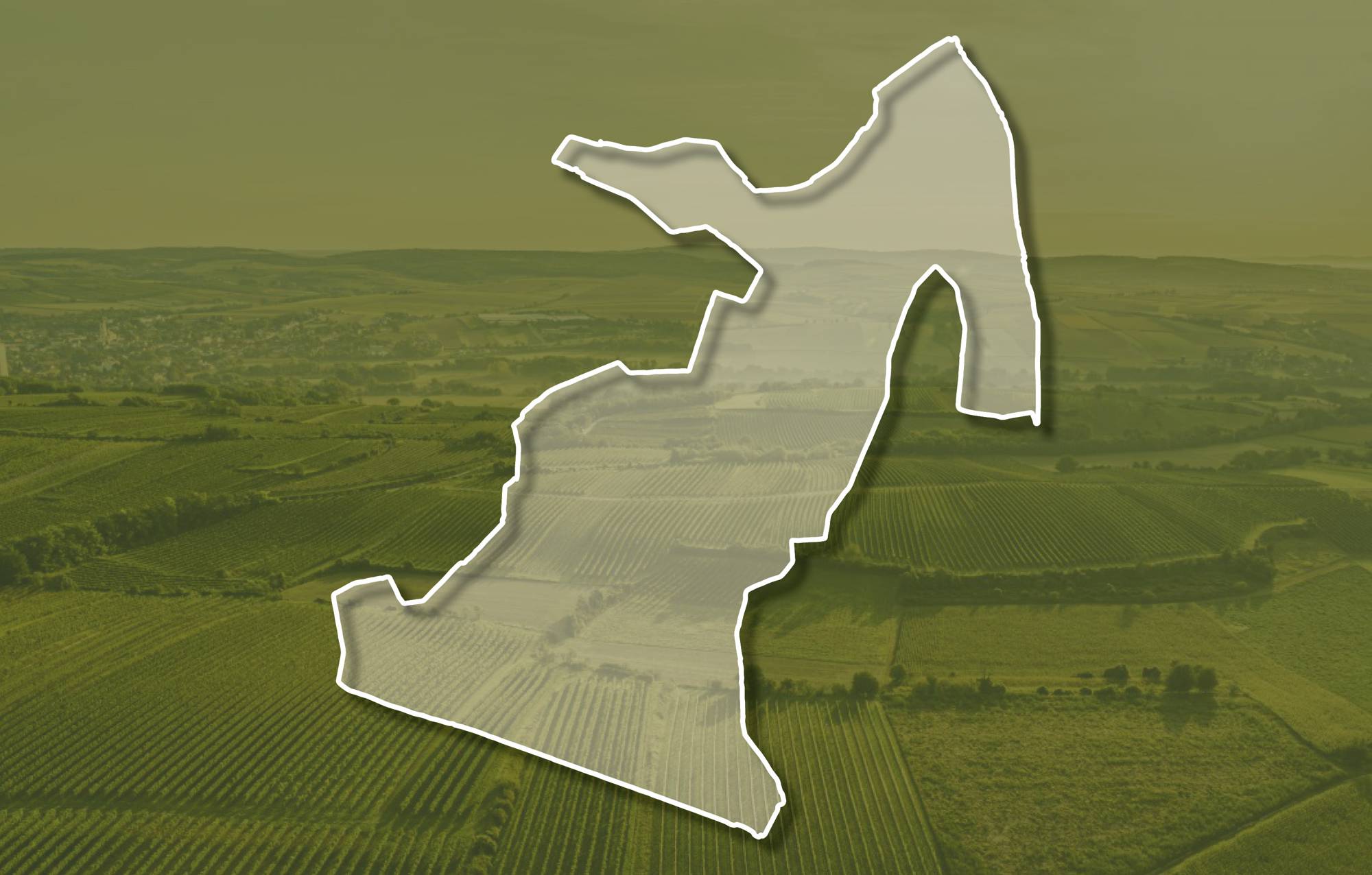
Ried BERG EISENHUT Subried BODENLEITEN

Beschreibung
Die Ried BERG EISENHUT liegt südöstlich der Siedlung Stettenhof bzw. nordöstlich von Gösing, sie erstreckt sich über eine Seehöhe zwischen etwa 290 und 360 Meter, die Weingärten schauen zu gleichen Teilen vorwiegend nach Süden und Südosten Im Untergrund liegen quarzreiche, sandige Kiese der Hollabrunn-Mistelbach-Formation. Das sind ca. 8 - 10 Millionen Jahre alte Ablagerungen eines ehemaligen Flusses, der Ur-Donau, die damals nördlicher als die heutige Donau zum Wiener Becken floss. An mehreren Stellen liegt kalkig-schluffiger Löss auf den Ablagerungen der Ur-Donau. Hier ist der Boden eine kalkige und lehmig-schluffige Schwarzerde aus Löss und lokal auch kolluvial, durch Abschwemmung geprägtem, Löss.
Sowohl im Franziszeischen Kataster (1823) als auch in der Administrativkarte 1:28.800 (1864-1881) sind hier Weingärten eingezeichnet.
Quellen: ÖWM, BFW-eBOD Digitale Bodenkarte, Riedenatlas Wagram 2021, M. Heinrich et al. 2009, GBA 2015: Blatt 39 Tulln, NÖ Atlas-Land Niederösterreich, www.familia-austria.at


This content cannot be displayed because cookies are disabled.
Change settings here.Points of Interest
Nutzen Sie die Karte, um Spannendes in der Umgebung zu entdecken!


