Ried BERG
Hippersdorf

Beschreibung
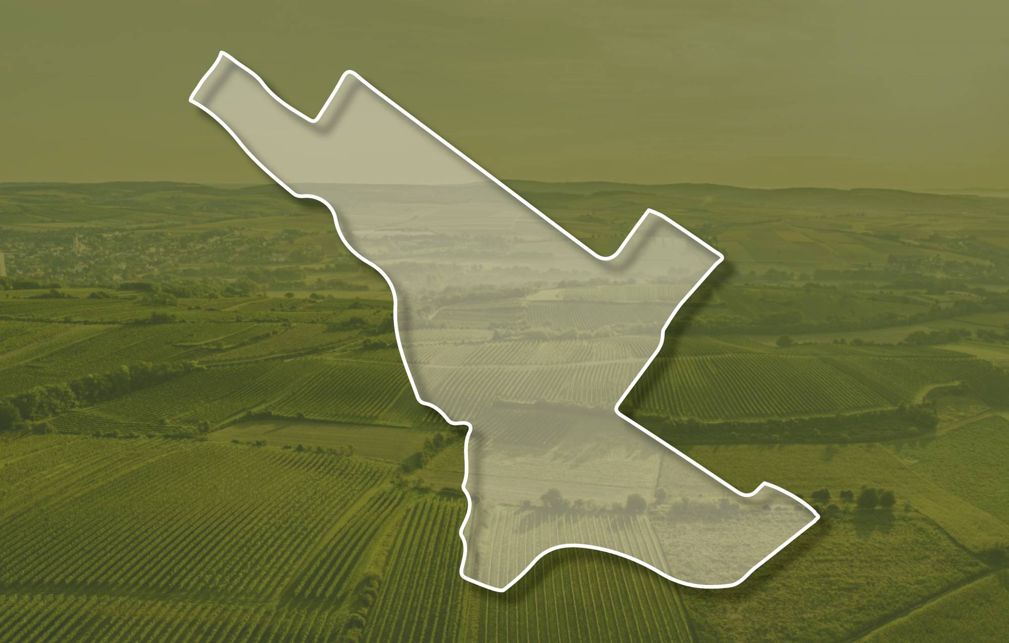
Die Weingärten der Ried Berg liegen zwischen etwa 190 und 230 Meter Seehöhe, an der Kante sind sie terrassiert und nach Süden, Südosten und Südwesten geneigt, am Plateau liegen sie flach. Zuunterst sind meist kalkige Sande, manchmal zu Sandsteinen verfestigt, oder Tone-Schluffe des ehemaligen Meeres, das vor etwa 17 Millionen Jahren hier lag, aufgeschlossen. Überlagert werden sie von kalkarmen bis kalkfreien sandigen Kiesen, die einen ehemaligen Donau-Talboden nachzeichnen und auch im Untergrund der mit Löss und dem Schwarzerde-Boden bedeckten Hochfläche liegen. Löss ist kalkhaltiger Gesteinsstaub (Schluff), der in den vegetationsarmen Kaltphasen der Eiszeit aus dem Alpenraum hier angeweht wurde und jetzt einen lehmig-sandigen, immer kalkigen und gut speicherfähigen Boden mit ausgewogener chemischer und mineralogischer Zusammensetzung bildet. Durch die Hanglage und Thermik herrscht ein guter Luftaustausch und der lösshaltige Boden eignet sich gut zum Anbau von Grünen Veltliner, Sauvignon Blanc und Roter Veltliner.
Die Weingärten sind sowohl im Franziszeischen Kataster (1822) als auch in der Administrativkarte (1864-1881) verzeichnet, damals mit den Bezeichnungen Obere Berg Feld, Berg Feld und Unt. Plexenthal. Wie der Name sagt, handelt es sich um eine hochgelegene Ried mit Blick über Hippersdorf. In Zeiten der Türkenbelagerung konnte man angeblich von dort aus die Geschehnisse in Wien beobachten.
Quellen: ÖWM, BFW-eBOD Digitale Bodenkarte, Riedenatlas Wagram 2021, M. Heinrich et al. 2009, GBA 2015: Blatt 39 Tulln, NÖ Atlas-Land Niederösterreich, www.familia-austria.at


This content cannot be displayed because cookies are disabled.
Change settings here.


