Ried BERGTHAL

Beschreibung
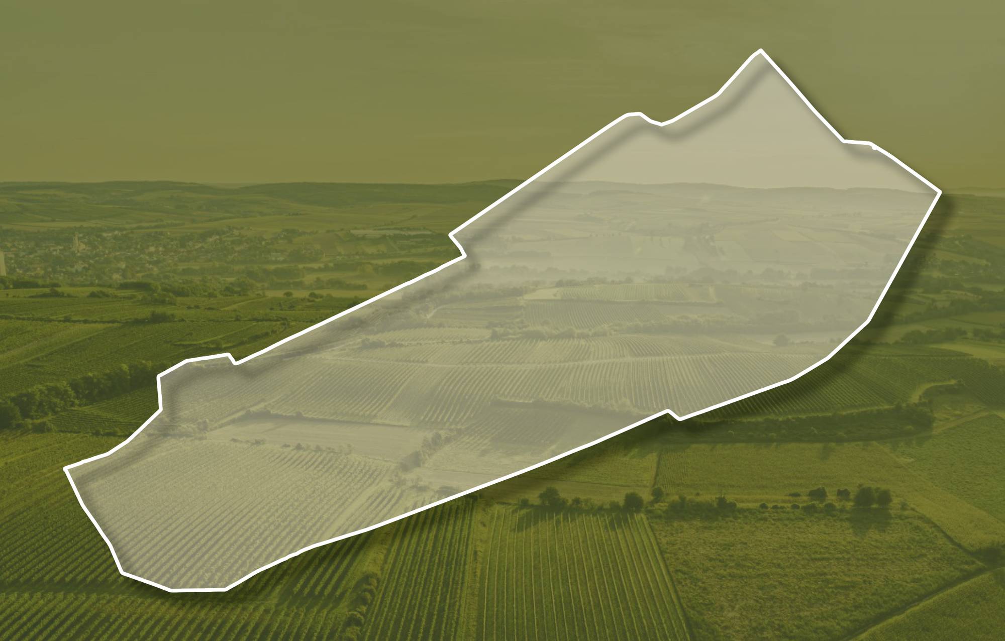
Die Weingärten der Ried BERGTHAL erstrecken sich über Seehöhen zwischen etwa 250 und 300 Meter, sie sind vorwiegend nach Südosten geneigt. Die Reben stehen hier auf quarzreichen, sandigen Kiesen der Hollabrunn-Mistelbach-Formation. Sie wurden vor etwa 8 - 10 Millionen Jahre von einem ehemaligen Fluss, der Ur-Donau, abgelagert, die damals nördlicher als die heutige Donau zum Wiener Becken floss. Im zentralen Teil der Ried und randlich liegt Löss. Löss ist kalkhaltiger Gesteinsstaub (Schluff), der in den vegetationsarmen Kaltphasen der Eiszeit aus dem Alpenraum hier angeweht wurde und jetzt einen lehmig-sandigen, immer kalkigen und gut speicherfähigen Boden mit ausgewogener chemischer und mineralogischer Zusammensetzung bildet. Die Lage ist warm und windgeschützt, vorwiegend bepflanzt mit Zweigelt, St. Laurent und Grüner Veltliner.
Sowohl im Franziszeischen Kataster (1822) als auch in der Administrativkarte (1864-1881) sind hier Weingärten mit dem heutigen Flurnamen dargestellt.
Quellen: ÖWM, BFW-eBOD Digitale Bodenkarte, Riedenatlas Wagram 2021, M. Heinrich et al. 2009, GBA 2015: Blatt 39 Tulln, NÖ Atlas-Land Niederösterreich, www.familia-austria.at


This content cannot be displayed because cookies are disabled.
Change settings here.


