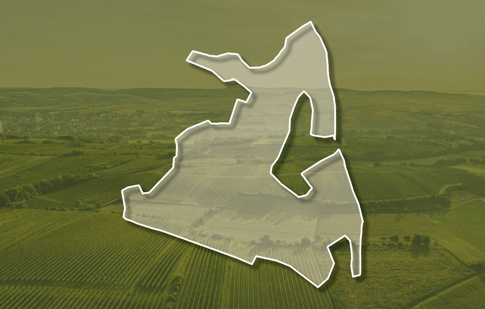
Ried BODENLEITEN

Beschreibung
Die Ried Bodenleiten liegt ein gutes Stück östlich der Siedlung Stettenhof bzw. nordöstlich von Gösing, die Weingärten erstrecken sich über eine Seehöhe zwischen etwa 280 und 360 Meter, sie schauen vorwiegend nach Süden, etwas auch nach Südwesten und Südosten. Im Untergrund liegen quarzreiche, sandige Kiese der Hollabrunn-Mistelbach-Formation. Das sind ca. 8 - 10 Millionen Jahre alte Ablagerungen eines ehemaligen Flusses, der Ur-Donau, die damals nördlicher als die heutige Donau zum Wiener Becken floss. Im zentralen Teil der Ried liegt kalkig-schluffiger Löss auf den Ablagerungen eines ehemaligen Flusses, der Ur-Donau. Hier ist der Boden eine kalkige und lehmig-schluffige Schwarzerde.
Sowohl im Franziszeischen Kataster (1823) als auch in der Administrativkarte 1:28.800 (1864-1881) sind hier Weingärten mit der heutigen Riedbezeichnung Bodenleiten bzw. Bodenleithen eingezeichnet.
Quellen: ÖWM, BFW-eBOD Digitale Bodenkarte, Riedenatlas Wagram 2021, M. Heinrich et al. 2009, GBA 2015: Blatt 39 Tulln, NÖ Atlas-Land Niederösterreich, www.familia-austria.at


This content cannot be displayed because cookies are disabled.
Change settings here.


