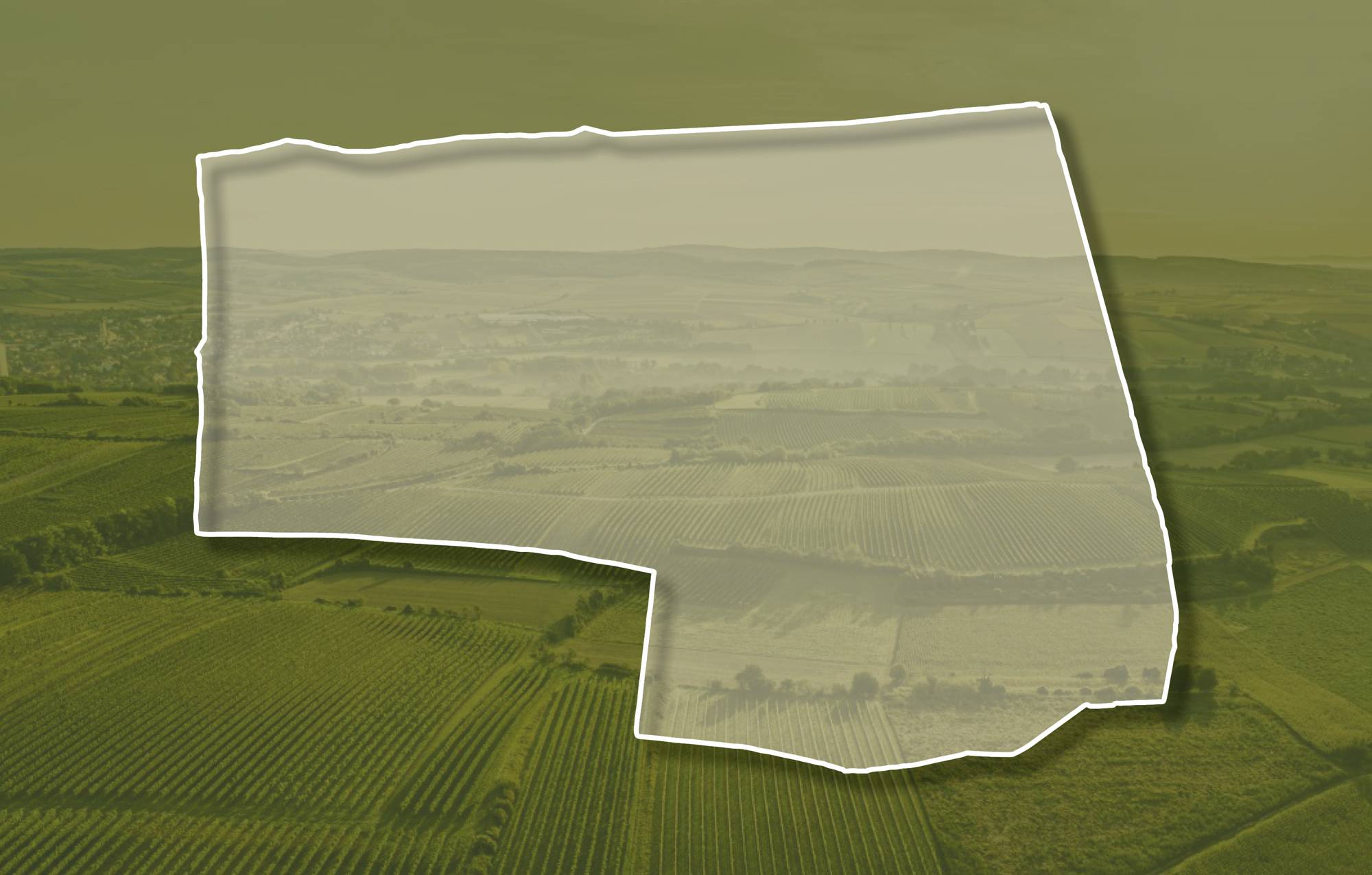
Ried BRENNER

Beschreibung
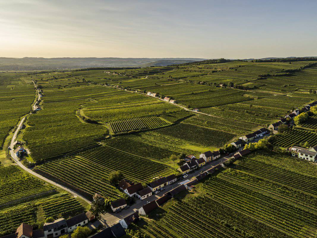
Die Ried Brenner ist eine nach Süden offene am Mittelhang Richtung Hengstberg-Kamm, im Bereich zwischen 230 und 290 Meter Seehöhe gelegen. Die nur wenig terrassierten Weingärten sind vorwiegend nach Süden ausgerichtet. Der Boden ist eine kalkhaltige Schwarzerde aus Löss. Löss ist kalkhaltiger Gesteinsstaub (Schluff), der in den vegetationsarmen Kaltphasen der Eiszeit aus dem Alpenraum mit den kahlen Vorfeldern der Gletscher und Flussebenen hier angeweht wurde und jetzt einen lehmig-sandigen, immer kalkigen und gut speicherfähigen Boden mit ausgewogener chemischer und mineralogischer Zusammensetzung bildet.
Sowohl im Franziszeischen Kataster (1823) als auch in der Administrativkarte (1864-1881) sind hier Weingärten eingetragen, die auch damals den Namen Brenner trugen. Der Name lässt auf frühere Brandrodungen schließen.
Quellen: ÖWM, BFW-eBOD Digitale Bodenkarte, Riedenatlas Wagram 2021, M. Heinrich et al. 2009, GBA 2015: Blatt 39 Tulln, NÖ Atlas-Land Niederösterreich, www.familia-austria.at


This content cannot be displayed because cookies are disabled.
Change settings here.


