
Ried DIEBSNEST

Beschreibung
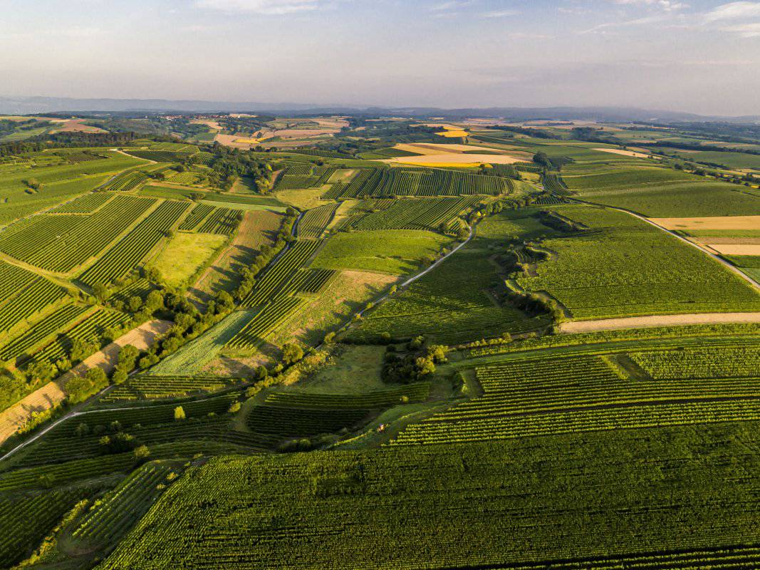
Die Weingärten der Ried DIEBSNEST liegen auf einem Plateau, das in einen Kessel übergeht. Sie erstrecken sich über Seehöhen zwischen etwa 270 und 320 Meter und schauen vorwiegend nach Südwesten. Der Untergrund ist von den quarzreichen, sandigen Kiese der Hollabrunn-Mistelbach-Formation geprägt, die vielfach unter der Lössdecke auftauchen. Die Kiese sind ca. 8 - 10 Millionen Jahre alte Ablagerungen eines ehemaligen Flusses, der Ur-Donau, die damals nördlicher als die heutige Donau zum Wiener Becken floss. Hier ist der Boden steinig, trocken und weniger kalkhaltig als auf dem mehlig-schluffigen Löss.
Sowohl im Franziszeischen Kataster (1822) als auch in der Administrativkarte (1864-1881) sind hier Weingärten eingetragen, für den nordwestlichsten Teil findet sich auch damals der Flurname In Diebsnest.
Quellen: ÖWM, BFW-eBOD Digitale Bodenkarte, Riedenatlas Wagram 2021, M. Heinrich et al. 2009, GBA 2015: Blatt 39 Tulln, NÖ Atlas-Land Niederösterreich, www.familia-austria.at


This content cannot be displayed because cookies are disabled.
Change settings here.


