Ried EBEN

Beschreibung
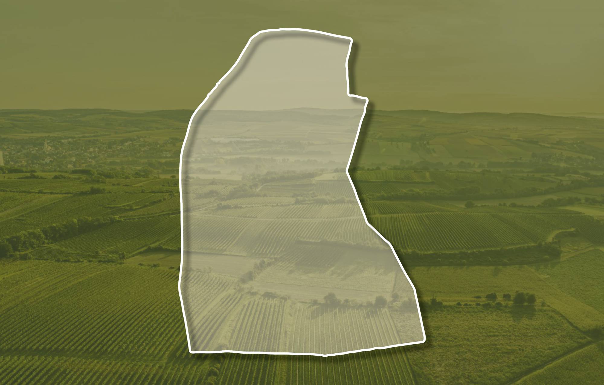
Die Weingärten der Ried EBEN liegen südlich des Ortes und erstrecken sich über Seehöhen zwischen etwa 290 und 310 Meter. Sie schauen vorwiegend nach Westen und auch nach Südwesten. Der Boden ist eine Schwarzerde bzw. ein Kulturrohboden aus Löss. Löss ist kalkhaltiger Gesteinsstaub (Schluff), der in den vegetationsarmen Kaltphasen der Eiszeit aus dem Alpenraum hier angeweht wurde und jetzt einen lehmig-sandigen, immer kalkigen und gut speicherfähigen Boden mit ausgewogener chemischer und mineralogischer Zusammensetzung bildet. Die Lage ist frostsicher, gut durchlüftet und leicht durchwurzelbar, da reifen Riesling und Welschriesling besonders gut.
Sowohl im Franziszeischen Kataster (1822) als auch in der Administrativkarte (1864-1881) sind hier Weingärten mit dem heutigen Flurnamen dargestellt.
Quellen: ÖWM, BFW-eBOD Digitale Bodenkarte, Riedenatlas Wagram 2021, M. Heinrich et al. 2009, GBA 2015: Blatt 39 Tulln, NÖ Atlas-Land Niederösterreich, www.familia-austria.at


This content cannot be displayed because cookies are disabled.
Change settings here.


