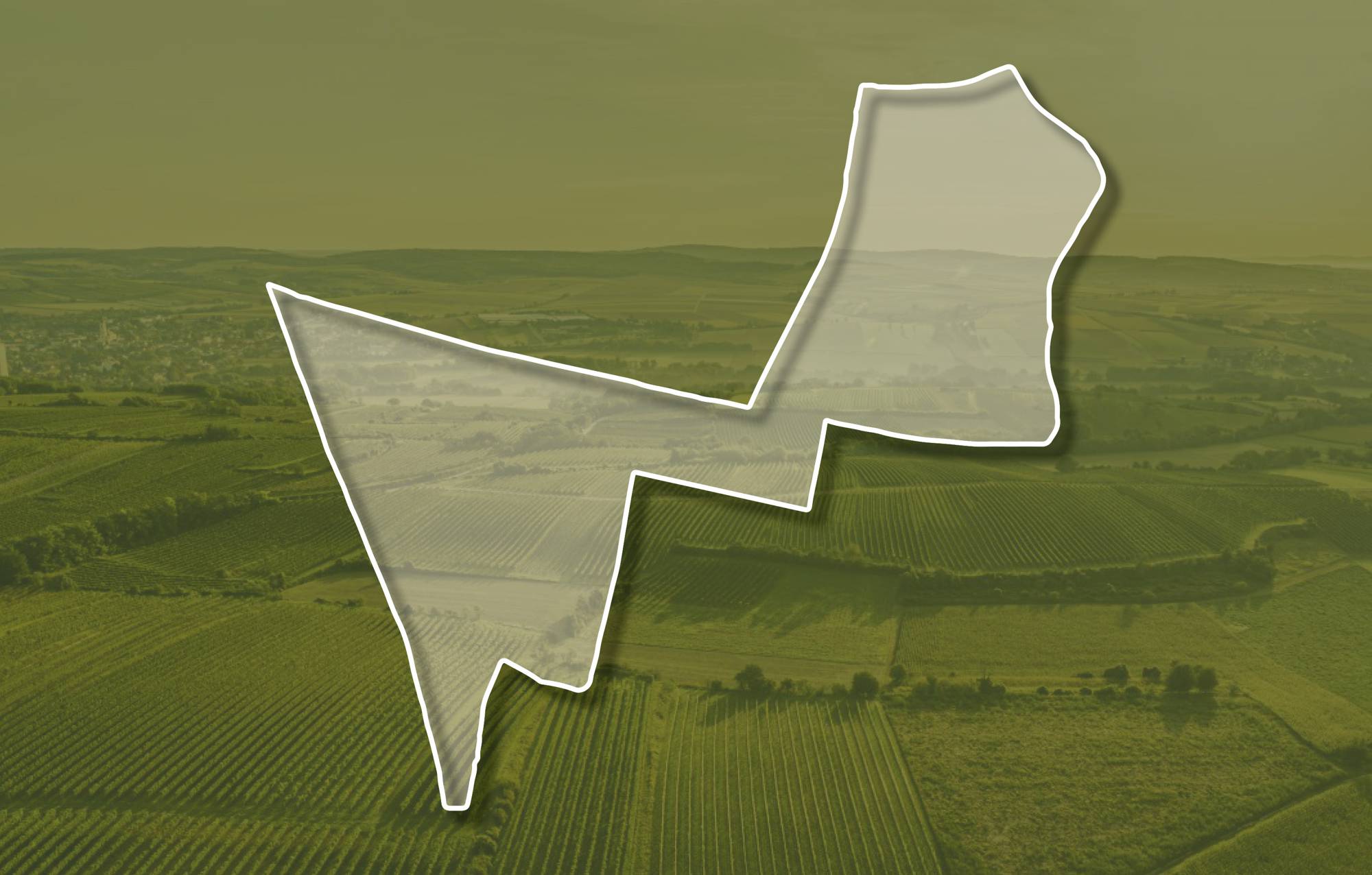
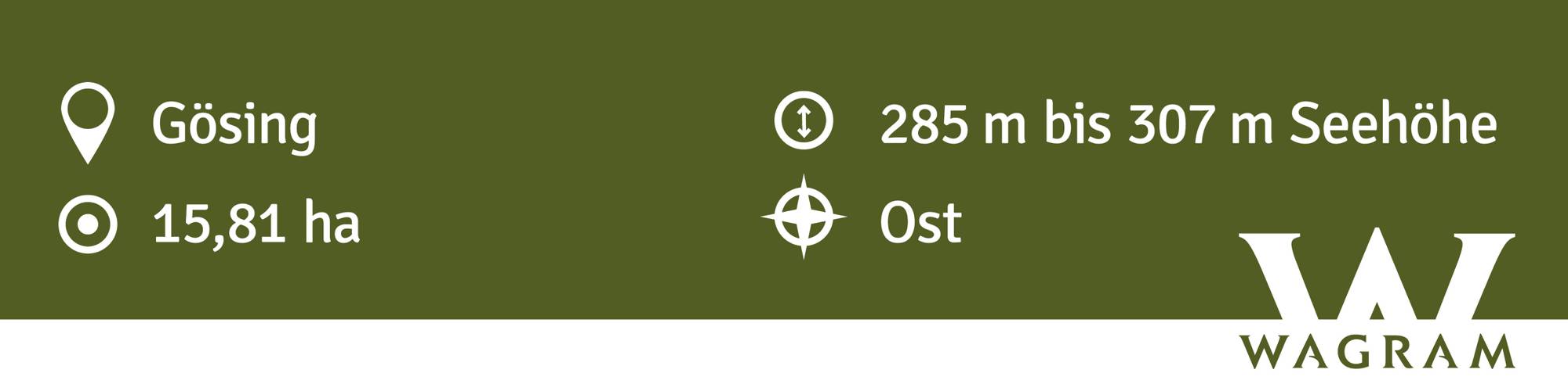
Ried ESSENTHAL
Beschreibung
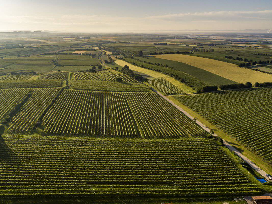
Die in ihrem östlichen Teil terrassierte Ried ESSENTHAL liegt in einer Seehöhe zwischen etwa 280 und 310 Meter. Die Weingärten sind vorwiegend nach Osten und auch nach Südosten ausgerichtet. Der Boden ist eine tiefgründige Schwarzerde aus Löss. Löss ist kalkhaltiger Gesteinsstaub (Schluff), der in den vegetationsarmen Kaltphasen der Eiszeit aus dem Alpenraum mit den kahlen Vorfeldern der Gletscher und Flussebenen hier angeweht wurde und jetzt einen lehmig-sandigen, immer kalkigen und gut speicherfähigen Boden mit ausgewogener chemischer und mineralogischer Zusammensetzung bildet.
Sowohl im Franziszeischen Kataster (1823) als auch in der Administrativkarte (1864-1881) sind im östlichen Teil der Ried Weingärten eingetragen, auch damals mit der Flurbezeichnung Essenthal. Die Bezeichnung mag von dem Tal kommen, das zum Abweiden für das Vieh benützt wurde.
Quellen: ÖWM, BFW-eBOD Digitale Bodenkarte, Riedenatlas Wagram 2021, M. Heinrich et al. 2009, GBA 2015: Blatt 39 Tulln, NÖ Atlas-Land Niederösterreich, www.familia-austria.at


This content cannot be displayed because cookies are disabled.
Change settings here.


