
Ried FUMBERG
Beschreibung
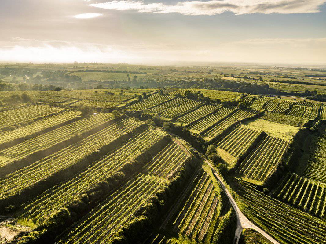
Die Ried FUMBERG liegt in einer Seehöhe zwischen etwa 230 und 330 Metern. Die großteils terrassierten Weingärten schauen vorwiegend nach Süden, aber auch nach Südosten und Südwesten. Der Boden ist eine tiefgründige Schwarzerde aus Löss. Löss ist kalkhaltiger Gesteinsstaub (Schluff), der in den vegetationsarmen Kaltphasen der Eiszeit aus dem Alpenraum hier angeweht wurde und jetzt einen lehmig-sandigen, immer kalkigen und gut speicherfähigen Boden mit ausgewogener chemischer und mineralogischer Zusammensetzung bildet. Nur im nordwestlichsten Teil der Ried kommen tonige Schluffe und Sande an die Oberfläche, die im damaligen Meer vor etwa 19 Millionen Jahren abgelagert wurden.
Sowohl im Franziszeischen Kataster (1823) als auch in der Administrativkarte (1864-1881) sind hier Weingärten eingetragen. Damals mit der Bezeichnung Pfundberg/Fumberg und Woelfel/Wölfel für den nördlichen Teil. Die heutige Bezeichnung könnte auf "Pfund" als Geldeinheit (ein Pfund Pfennige, für die man im Mittelalter einen Ochsen kaufen konnte) oder als altes Flächenmaß für Weingärten (1/4 Joch) zurückgehen; vielleicht ist es eine Kombination: Berg, auf dem man für ein Pfund Weingärten 1 Pfund Zehent (Abgaben) zahlen musste.
Quellen: ÖWM, BFW-eBOD Digitale Bodenkarte, Riedenatlas Wagram 2021, M. Heinrich et al. 2009, GBA 2015: Blatt 39 Tulln, NÖ Atlas-Land Niederösterreich, www.familia-austria.at


Karte


